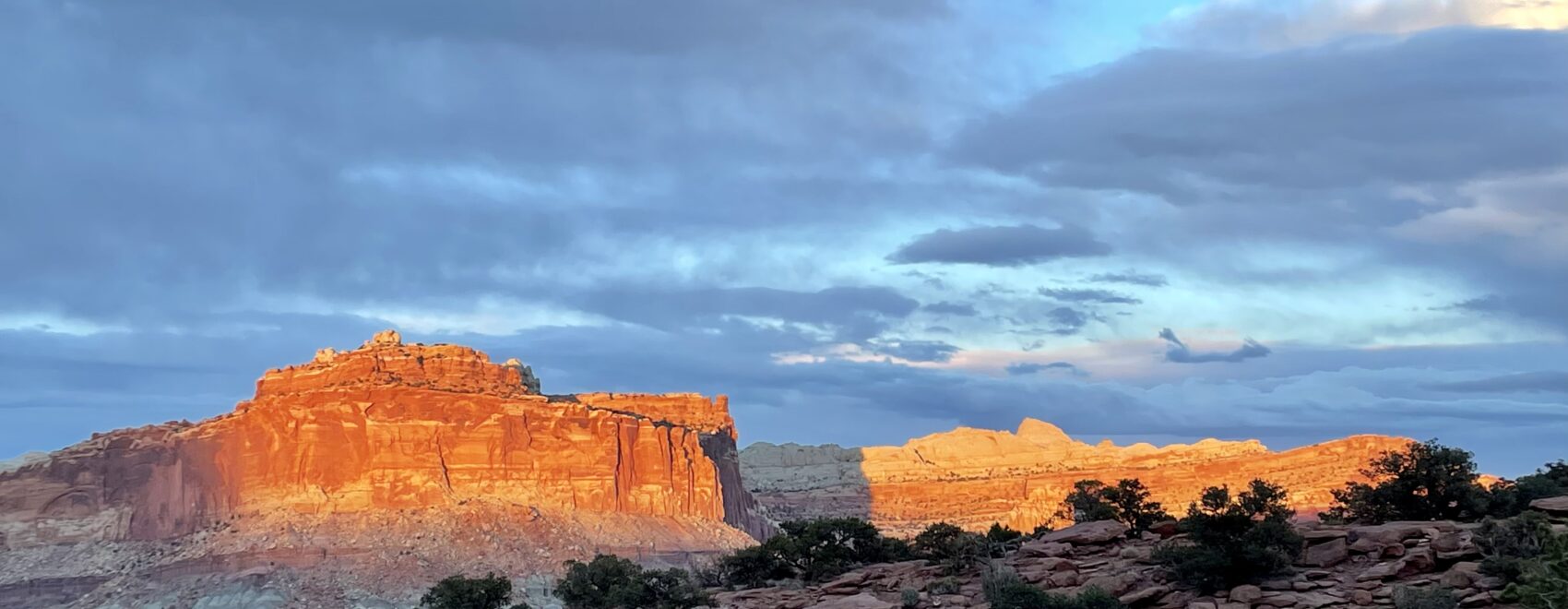
In the Summer of 2021, I visited Arches and Canyonlands National Parks with my good friends, George and Sandy. Our adventures have been many, so I’ve come to refer to us as The Three Amigos! We teamed up again in early 2023 to visit Capital Reef, Bryce Canyon and Zion National Parks. This accomplishment also completed our quest to visit and explore all of “The Mighty Five,” the nickname for the 5 national parks in Utah.
We spent 2-3 days at each park enjoying a range of activities, as each park offers a unique experience. Zion has dramatic hiking (like vertiginous Angels Landing and river-hiking the Virgin River). Bryce offers a stunning amphitheater of hoodoos (which are especially beautiful when dusted with snow). Capital Reef features the Waterpocket Fold of sandstone cliffs above a river valley. These are 3 very different and incredible parks, each within a short drive of the other.
We encountered unusual weather for the beginning of April, which marks the start of high season at Utah’s NPs and extends through September. Temperatures at these parks typically range from daytime highs in the low 70Fs (low 20Cs for my Canadian friends) to overnight lows in the 40Fs (low single-digit Cs). Our trip was characterized by unseasonably low temperatures following a winter of record snowfall. Snow was so heavy at Bryce (elevation 8,000-9,000 ft) that most of the main road out to Rainbow Point was closed with snowdrifts of up to 7 feet. Most mornings in Utah, we found ourselves arising in near-freezing temperatures but with full sunshine. Fortunately, we Three Amigos were prepared with the proper gear, so the challenging cold weather simply enhanced the feeling of a great adventure.
And a final note: it is always best to reserve your lodgings and park passes well in advance; for the historic lodges at Bryce Canyon and Zion, I arranged these a full year in advance. See full details of this trip at the end of this blog – Hiking Capital Reef, Bryce and Zion National Parks Itinerary-At-A-Glance.
Now, the fun stuff!
The Adventure Begins: Capital Reef NP
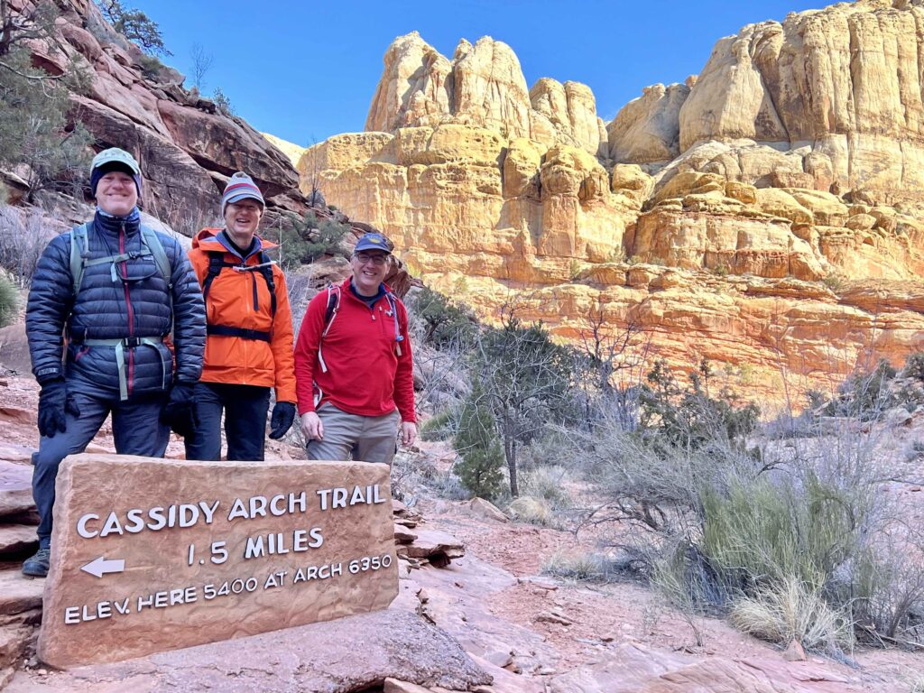
Our first stop was Capital Reef, known for its sunsets, not its sunrises. The latter can be best appreciated at Bryce Canyon (more on that later). Our hiking adventures included:
- Fremont River Trail: 2.6-mile round tripper along the river and Moenkopi sandstone cliff; late afternoon is the best time for views and sunsets
- Gooseneck Overlook: take the short trail to Sunset Point for day-end views.
- Hickman Bridge Trail: just 1 mile uphill to the arch, a 133-foot sandstone “bridge” with panoramic views of the Waterpocket Fold and valley. A popular hike is best done early.
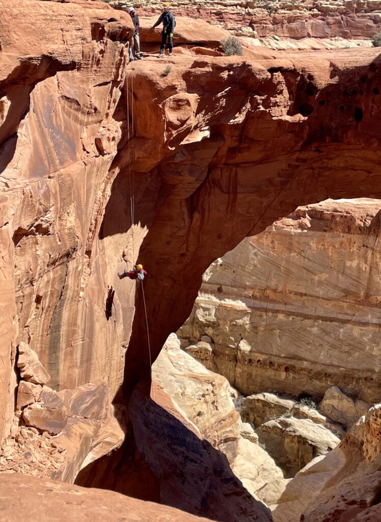
The highlight of Capital Reef was a new type of adventure George had arranged for us: Canyoneering! It’s basically rappelling into the depths of the slot canyons for which Capital Reef is known. We hiked for an hour, up 1,000 vertical feet for the first of 8 rappels down from Cassidy Arch. Let’s just say it took me a long moment before launching myself into the first rappel – see me mid-descent in the photo below. I highly recommend our guide, Mike Hinkle of Capital Reef Adventures. Mike’s skill, patience, clarity, and calm were instrumental to our success! Give it a go if you aren’t acrophobic!
Onward to Bryce Canyon NP
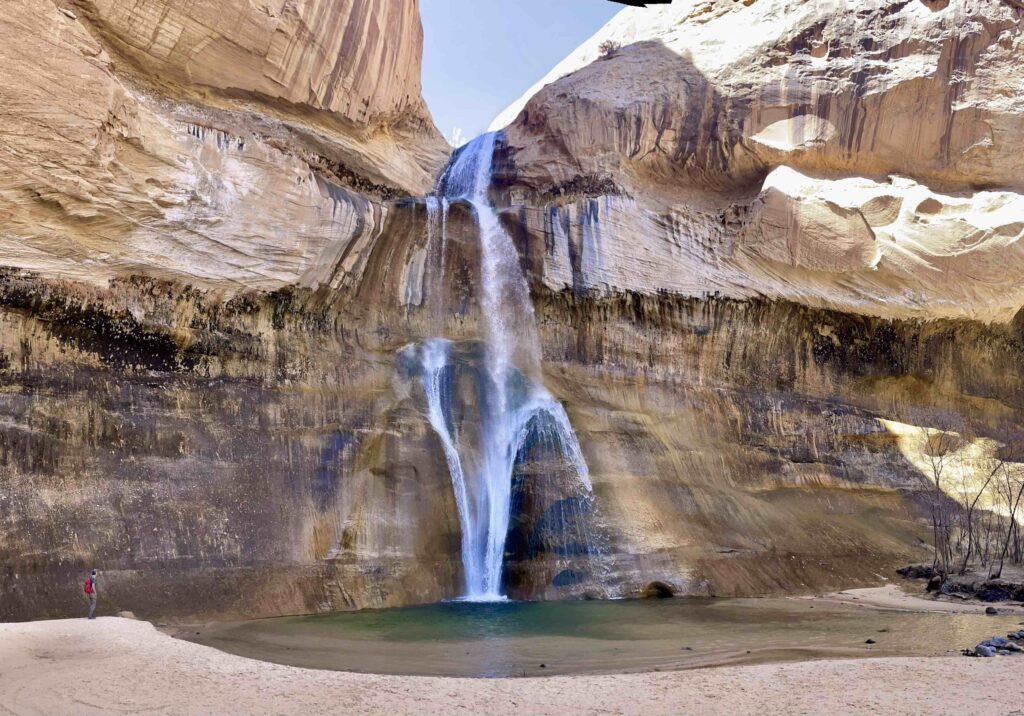
The road trip from Capital Reef to Bryce Canyon is awesome if you take Route 12, a 110-mile drive that is one of America’s Scenic Byways. The 3-hour drive takes you through Grand Staircase/Escalante National Monument — over high passes (highpoint of 9,500 feet), through pine forests, and past many scenic overlooks. We also took the opportunity to enjoy a terrific 6-mile, flat, r/t hike to the 126-foot Lower Calf Creek Falls.
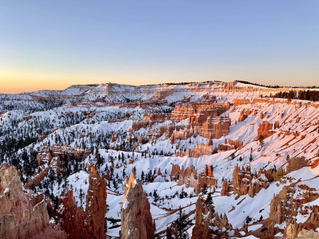
Bryce, like much of Utah, had received record snowfall, and the scenic park road was mostly closed under drifts of up to 7 feet on April 1, the day we arrived. Several hiking trails were also closed, and we were very pleased we had brought both micro spikes and snowshoes. Fortunately, we were staying at Bryce Canyon Lodge, literally 100 yards from the canyon rim and as the sun had not yet set, we hoofed it over to the rim to capture a first impression of the canyon at sunset.
Fun Fact: The canyon is not actually a canyon; rather, it is the eastern edge of a plateau. But I will continue to refer to it as a canyon because that’s how it’s known. The NP is named after Ebenezer Bryce, a Mormon pioneer who moved into the canyon with his wife, Mary, and here they raised their 12 children in the mid-1800s. His family were the primary residents, so folks began referring to the area as “Bryce’s canyon”. Life amongst the hoodoos was especially challenging, perhaps best expressed in Ebenezer’s epithet, “It’s a hell of a place to lose a cow!”
Sunrise and Peekaboo
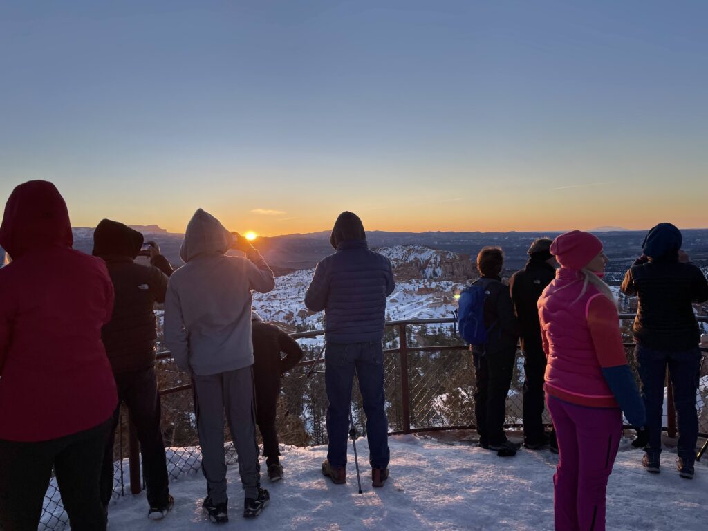
Unlike Capital Reef, Bryce is known for its sunrise and has a viewpoint along the rim named, of course, Sunrise Point. Naturally, we Three Amigos needed to witness nature’s morning show, and so we arose at 6 am our first morning, donned micro spikes, and hiked from our room at the Lodge for 15 minutes along the rim to the Point.
Other Trails included:
- Bryce Point is a popular trailhead on the rim to access the canyon and enjoy a panoramic view.
- Peekaboo Loop Trail was open (Navajo Loop Trail was closed): It’s a 5.5-mile undulating trail through the hoodoos, with names such as Alligator Rock, Wall of Windows, Fairy Castle and the Cathedral.
- Fairyland Loop Trail, another excellent trail that leads down into the canyon amidst hoodoos and offers a side trip to one of the more famous hoodoos known as The Tower, as well as a view of the aptly named The Sinking Ship (see below)
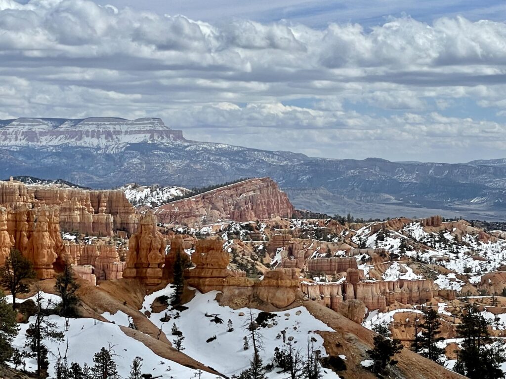
Take Note: Hiking alternatives in Bryce offers two choices depending on your time and energy: (1) stay on the rim and enjoy the views of the hoodoos from above (e.g. Sunrise Point and Bryce Point) or (2) hike down from the canyon rim about 1,000 vertical feet and walk amongst the hoodoos (in this case, the Peekaboo and Fairyland Loops). On these latter hikes, it is important to remember to conserve sufficient energy for the hike back up!
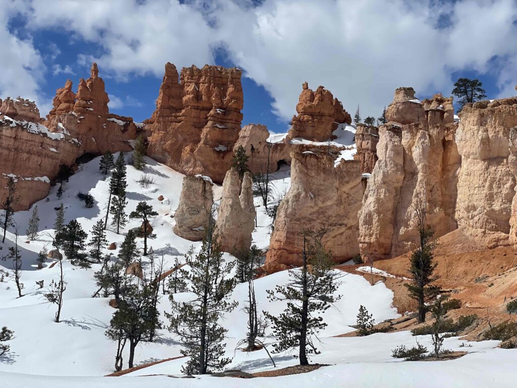
There was much debate among the Three Amigos on which hoodoo was most “manly.”
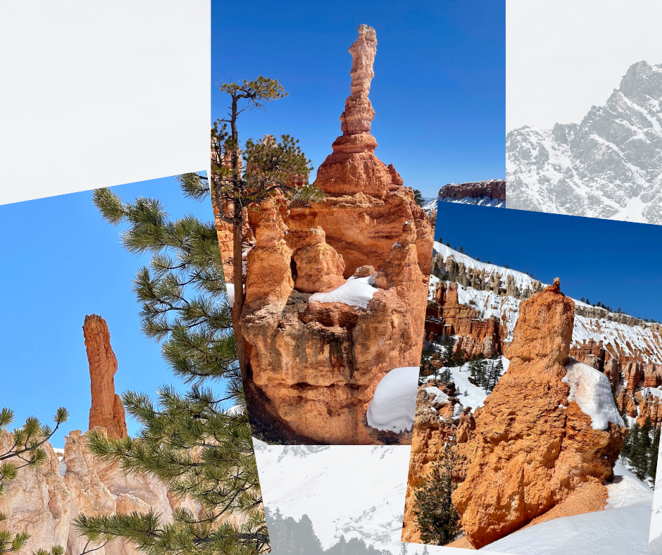
Tip: High elevation, clean dry air, and lack of light pollution make Bryce Canyon one of earth’s darkest spots. The Park holds International Dark Sky status and enlists Dark Rangers to offer summer evening programs. On moonless nights, the Milky Way appears as a huge silver sliver arcing across the sky. Alternatively, on full-moon evenings, the Rangers will lead hikes among the moonlit hoodoos.
On The Road Again: To Zion NP
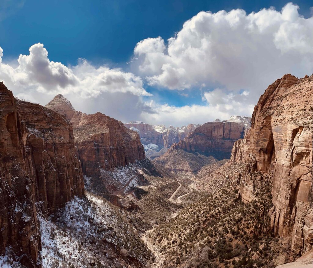
Our adventures in Zion NP were a worthy completion of Utah’s “Mighty Five.” As the finale of the five, we had “high” expectations! (Yes, a little corny.) Our goal was to experience the following:
- Hiking near the East Zion Tunnel on Many Pools and Canyon Overlook Trails
- Hiking in Kolob Canyons, in the remote northwest corner, on Taylor Creek Trail
- Ascending Emerald Pools Trails across the park road from Zion Lodge, where we stayed
- River Walking up The Narrows of the Virgin River
- Summiting Angels Landing, arguably the most vertiginous trail in the national park system
Here are some observations from our adventures along with a few pics:
Arriving at Zion from the east through the Zion Tunnel is a great, dramatic way to enter the Park for the first time. Before the Tunnel, as you approach from the east, you will first find Many Pools Trail and, later, right before the Tunnel entrance, the Canyon Overlook Trail. It’s short (1-mile r/t) and super popular but so worth it, particularly as an introduction to Zion. The most challenging aspect is to find parking. The dramatic view at the trail’s end is one of those oh-my-God moments!
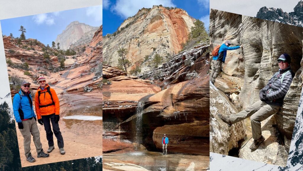
Fun Fact: Stretching 1.1 miles, Zion Tunnel is the longest in the national park system and was the longest in the U.S. at the time of its completion in 1930. Its construction required 300,000 pounds of dynamite and blasting techniques adapted from the mining industry. If you visit Zion, you must drive the Tunnel!
Taylor Creek Trail and Kolob Canyon – this trail is one of the park’s unsung heroes located in the northern section of the Park, an hour’s drive from the madding crowds of Zion Canyon. Kolob is perched at 6,000 feet, so we had snow and an engorged river with multiple crossings to navigate – pleased to report none of us suffered a dunking!. The trail is 5 miles r/t but not strenuous, with elevation gain of less than 500 feet and terminates at an unusual double arch formation in the cliff wall.
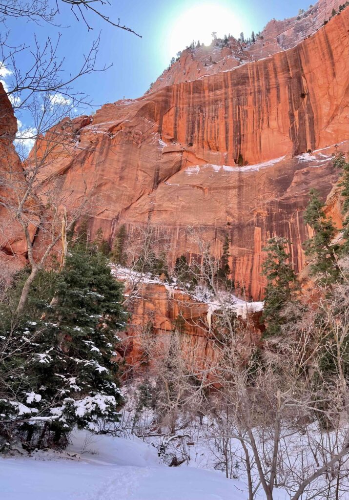
Tip: The primary challenge is the multiple stream crossings – we counted over 25 each way! There are no footbridges, just rocks to hop along, so we found some balancing challenges that were fun. (We were wearing our waterproof hiking boots.)
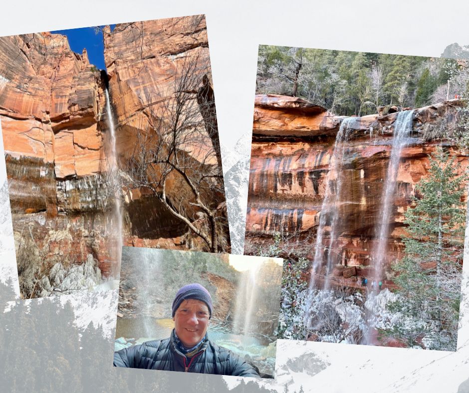
Emerald Pools is a set of short trails near Zion Lodge that feature Lower, Middle and Upper Pools. My suggestion: hike straight to Middle Pool, then continue another half-mile to Upper Pool, which boasts a 400-foot waterfall. My favorite experience was hiking below and behind the several waterfalls off Middle Pool.
Hiking up The Narrows of the Virgin River
James Kaiser
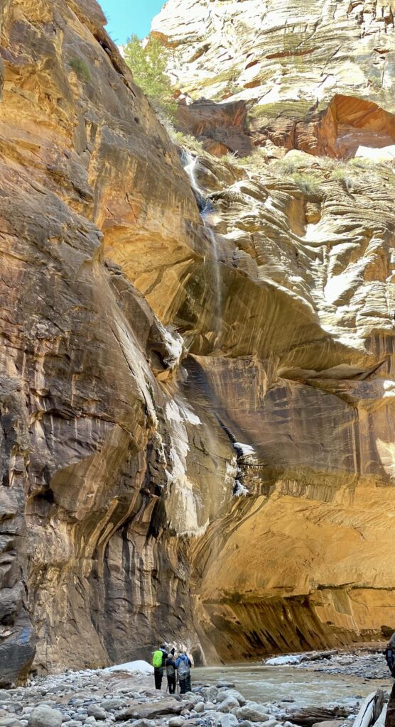
Zion, The Complete GuideJames Kaiser is one of the best writers/photographers of National Parks, and so I offer a quote of his above. (I’ve used his materials religiously to plan activities in Acadia, Joshua Tree and now Zion.) The Narrows is a section of the Virgin River that is several miles long, where the river has created slot canyons with sandstone cliff walls rising over a thousand feet. The river is the trail. There are points where the aperture narrows to about 25 feet, and daylight barely descends fully into the bottom of this corridor. Hence, its name is The Narrows.
Water temp was about 38F, and air temp in the 40s (4C). (It’s 20F colder in the Narrows than at Zion Canyon.) Water flow had been peaking above the threshold to allow river-hiking. We had also learned from a ranger that a woman had died of hypothermia a bit earlier in the season, and her husband almost didn’t make it. We also received guidance on what to do in a flash flood (which has claimed the lives of more than a few river walkers).
We got lucky. Checking online, we learned that the Narrows would be open the next day for us idiot river-walkers. I hope you readers appreciate I’m doing this for you. 😊
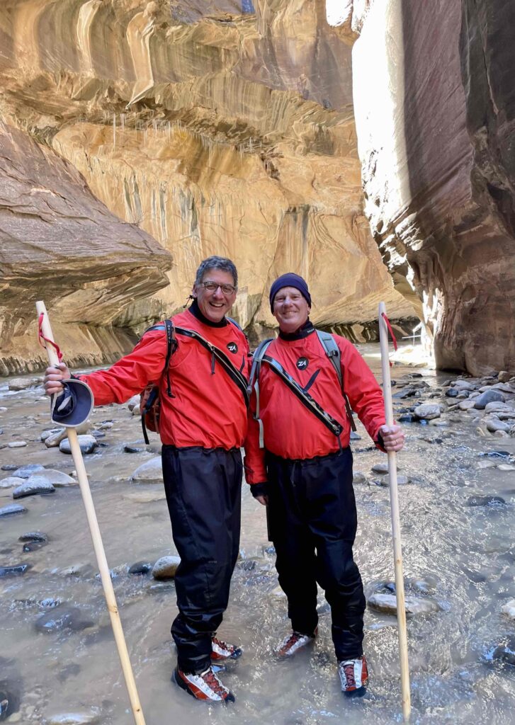
Fortunately, we had pre-arranged the necessary gear at Zion Adventures, a local outfitter recommended to us by virtually everyone:
- Drysuits have ankle, wrist and neck seals and are warmer than wet suits.
- Canyoneering Boots – rugged and grippy, yet allowing river water to circulate and be warmed by our bodies
- Neoprene Socks — 2 pairs to wear together for warmth, given the frigid river temps
- Walking Staff – like Moses parting the sea, as trekking poles are too flimsy in the river’s current
I can’t overemphasize how important it is to use an experienced, expert outfitter when you’re attempting something new and unfamiliar. The staff at Zion Adventures gave us a very complete description of what to expect, along with many useful pointers. We wisely picked up the gear from them the evening before so we could avoid a morning rush hour drive back into the Park. We decided to start at 11 am and finish around 4-5 pm to benefit from the warmest part of the day. Good decision.
You access the Virgin River from the last shuttle stop (at the end of the park’s scenic drive), known as the Temple of Sinawava, named after the benevolent wolf god of the South Paiute. It’s drop-jaw awesome scenery, especially if you take the 1-mile Riverside Walk along a path paralleling the River into the canyon. The end of the Walk is where you don your drysuits and enter the water. But you don’t need to walk the river to be awed by Riverside Walk.
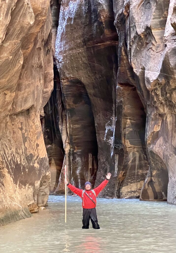
In short, the river hike was awesome. The river was generally knee/thigh deep. It got chest-deep at times, and I wished I were a taller man. But we didn’t fall, and we made it way up- river to its narrowest section, appropriately named Wall Street. We did realize it was important to avoid walking in areas with overhanging ice, as big hunkers occasionally calved off into the side of the river. I was amazed at how warm and dry we remained. It certainly helped that we wore long underwear and down jackets under our drysuits.
Walking among the Angels
And finally, the pièce de resistance, Angels Landing! At 6 am, with headlamps on, we walked up the park road from Zion Lodge a mile to the trailhead. At this early hour, there is no shuttle service, nor are you permitted to drive it. We wanted to have the trail to ourselves since the last half mile is so narrow, narrow, and congestion magnifies risk.
From the trailhead, it is 2 miles and over a thousand vertical feet to Scout Lookout, the stopping point for many. The final half-mile and 500 vertical feet is, shall we say, “airy”. It includes trail sections that are not 5 feet wide, with thousand-foot drop-offs on either side. There is no room for error.

At a strong pace in the cool morning air, it took only 50 minutes to ascend to Scout Lookout. This included a series of 21 steep switchbacks named “Walter’s Wiggles” after the first superintendent of Zion NP, Walter Ruesch. We marveled at this incredible feat of trail creation. We had not seen a soul. Then, from Scouts Lookout, I looked out and up to the Angels Landing and took a pause.
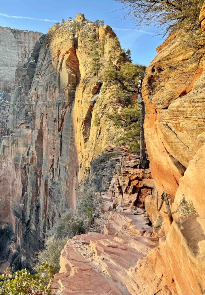
It is hard to find words to express what I felt doing this.
I thought about each step. I thought about my balance. I did not look down. I’ve learned from having done some technical rock climbing that it is better to look ahead and up.
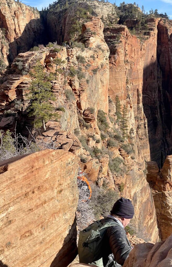
At one point, we were joined by a chatty fellow hiker whose presence I did not appreciate. He felt compelled to share commentary on the woman who fell to her death from the part of the trail we were navigating.
Finally, VICTORY! Upon our safe return to Scout Lookout, I breathed a sigh of relief. We lounged around for a few self-congratulatory moments, spent several minutes refueling, and headed back down, smiling at anyone and everyone heading up.
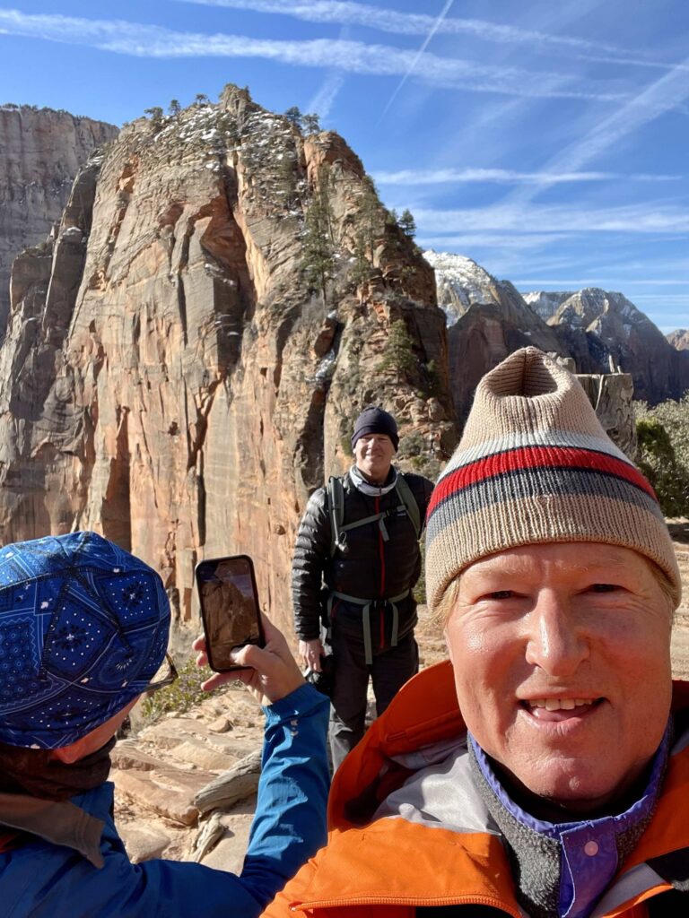
Fun Fact: The high red mesa now known as Angels Landing was originally referred to as the Temple of Aeolus. In 1916, before the construction of a trail, a visiting Methodist minister remarked that this red mesa was so tall and seemingly inaccessible that “only an angel could land on it.”
Tip: A permit is required to do the final half-mile, and you will want to arrange for this in advance. Do this hike as early in the day as you can. Even with the permit system in place, there can be traffic jams on the final vertiginous half-mile after Scouts Lookout. It is the presence of more people when dumb things can happen.
Wow! What a terrific trip! Early spring is a great time to visit Zion, Bryce and Capital Reef, as you may miss the crowds and line-ups – especially if you stay at Bryce Canyon and Zion Lodges nestled within the Park and get an early start. However, be prepared for all types of weather. Take advantage of the knowledge of park rangers and local outfitters. Know your limits and stay within them, as there’s the full spectrum of great adventures here.
Enjoy!

