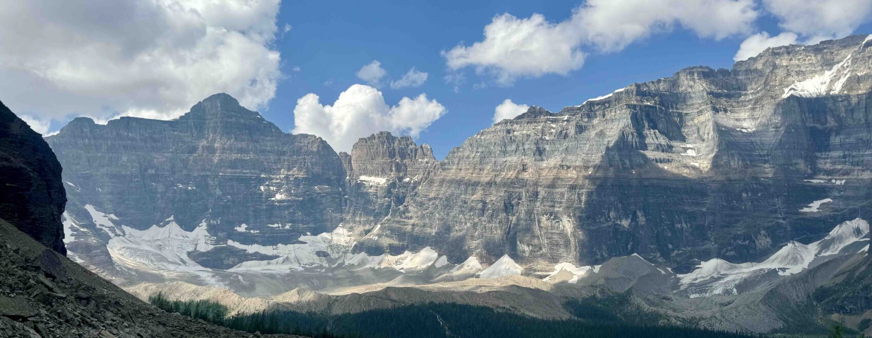
There are 6 national parks in the Canada’s Rockies, each less than an hour’s drive from its predecessor. You cannot find that anywhere else in North America. My good friend and hiking buddy George and I flew into Calgary and started with the closest, Banff NP, a 90-minute drive from the airport. We managed to cover 5 out of 6 NPs — Banff, Jasper, Yoho, Glacier, and Revelstoke.
Our original plan focused on hiking Banff NP, visiting its hot springs, and driving and hiking along the Icefields Parkway to spend a few days in Jasper NP. However, Jasper’s calamitous wildfires shut down the town and most of the Parkway and national park, so we had to pivot. Plan B was created to allow us to visit other national parks in the Canadian Rockies — just a short drive across the Continental Divide to Yoho, Glacier, and Revelstoke.
I have one main goal here and that is to share with you the feeling of awe and wonder of the Canadian Rockies!
Enjoy!
8 Days of Hiking Adventures in the Canadian Rockies
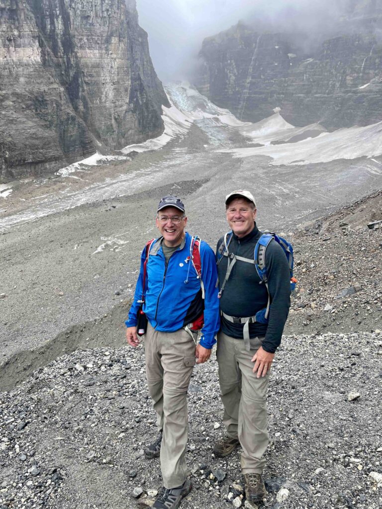
Day One: Lake Louise – Plain of Six Glaciers & Lake Agnes Circuit, 13 miles, 3,000 ft. vertical
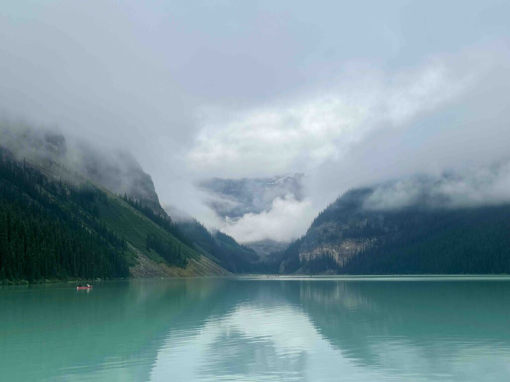
George and I stayed in the small village of Lake Louise, 35 miles north of Banff town, to access the most dramatic hiking and avoid the summer hordes of Banff. We felt the most interesting hiking areas emanated from two lakes – Lake Louise and Lake Moraine. Both lakes and their trails are especially popular, so we wisely made advance reservations on the local bus service. We had received a great tip months ago to stay at The Mountaineer, lodging with a free hot breakfast for half the price of the tonier hotels.

On a cool and overcast morning, George and I decided to start our week of hiking with a big day. We took the bus from across the street from our lodge to Lake Louise and began hiking from the trailhead at the renowned Chateau Lake Louise along the lakeshore toward the mountains.
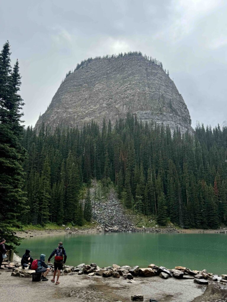
During the course of the day, we first hiked 6 miles to get a close-up of the glaciers, lunched at the nearby Plain of Six Glaciers Teahouse, climbed up a steep trail to the top of a formation aptly named The Beehive, and descended past the Lake Agnes Teahouse and Mirror Lake back to the Chateau. We would highly recommend this hike or parts thereof to experience the Lake Louise area.
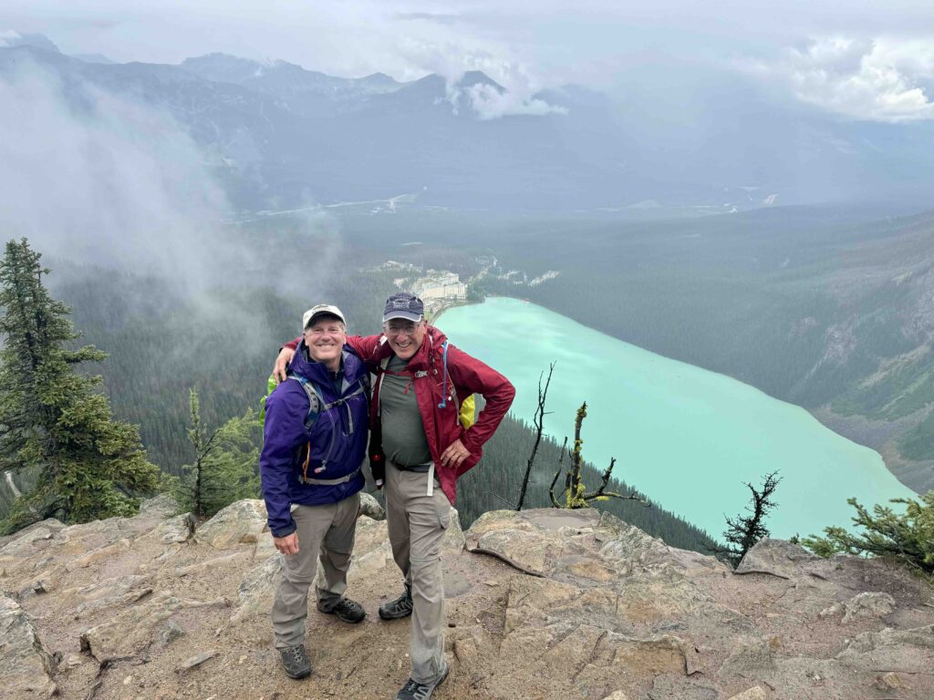
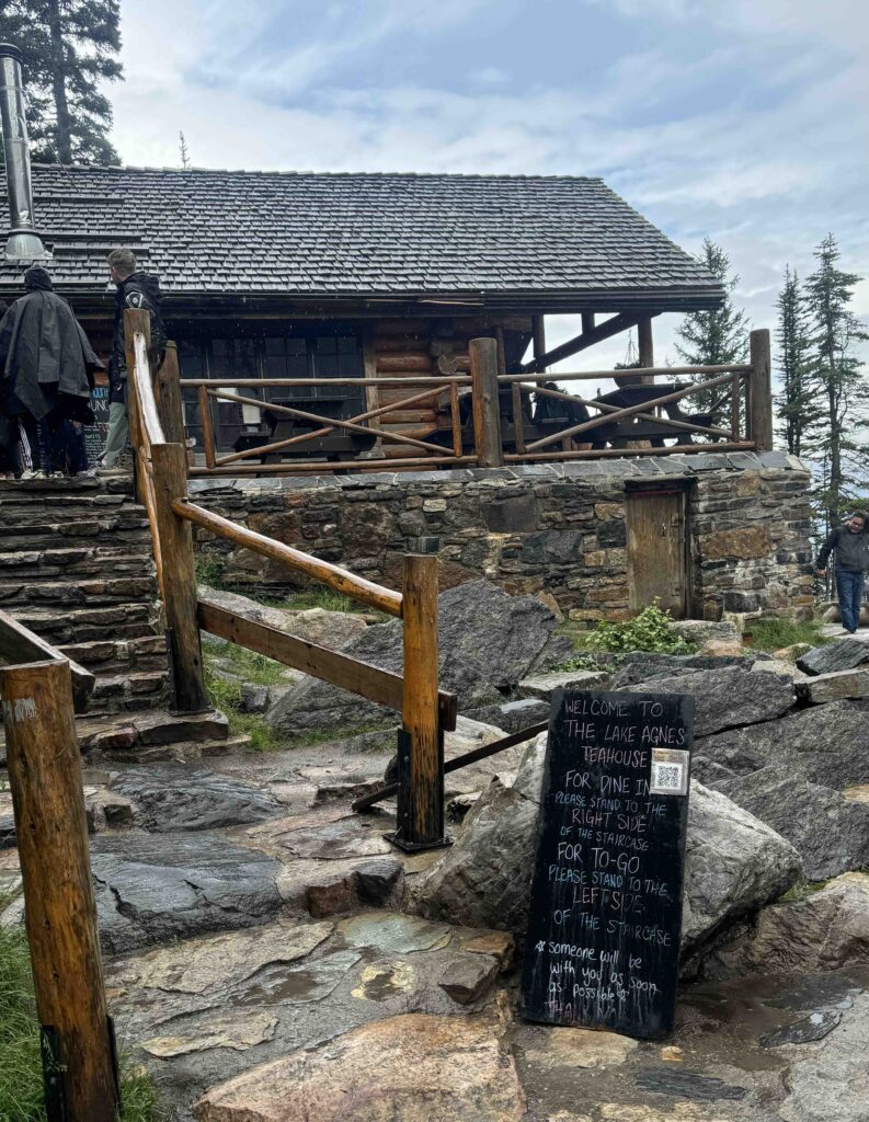
Luncheon Tip: Don’t miss a stop at one of the teahouses, as the settings can’t be beat! And where else in North America can you find a teahouse perched amongst glaciated peaks?!
Day 2: A “Rest Day” – Via Ferrata up Mt. Norquay

On day 2 of this adventure, we chose a non-hiking activity that’s new and a bit scary to us. Past trips have involved rafting rapids, rappelling into canyons, and river walking – activities that take us into unfamiliar territory and out of our comfort zone. This trip, Via Ferrata served that purpose.
Via Ferrata is not an Italian race-car or omelette. Simply put, it’s an activity during which you wear a climbing harness with carabiners to clip yourself into cables affixed to a mountainside. Then you climb, unclipping and reclipping along the way. There are 2 carabiners connecting you to the cable, and you want to be sure that at least one of them is clipped to the cable at all times. Or else… This method of scaling peaks was perfected in Italy during WW1 as a way to advance troops over the Dolomites.
Nowadays, we do it for fun, although George and I questioned our decision-making as we (and a few insane others) followed our mountain-goat guide up and up and up. Clip in, climb, unclip, reclip, climb. Repeat. I applied an approach from my younger days when I learned technical rock-climbing: Don’t Look Down! I look only upwards to map out the next moves and look down only after reaching the top.
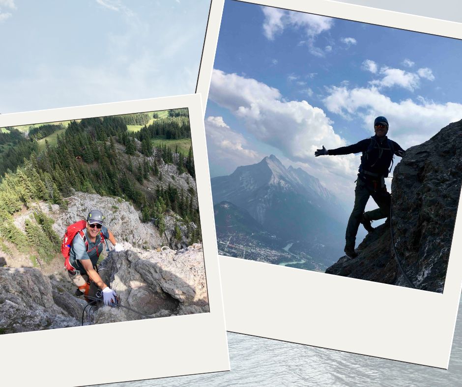
Mt. Norquay is a local ski area which offers this summer fun. You take the chairlift to the top of the ski area, gear up, and climb up cliffs toward the summit ridge, another thousand feet up. For 5 hours, we ascended and descended. Perhaps the most daunting moment was the traverse across a bridge whose footing was a narrow (3”) runway of wood & wire. I have never moved so slowly and carefully, using a sidestepping movement to navigate a hundred feet across the chasm. George and I enjoyed a post-climb beer at the mountain lodge, and it felt particularly fine, knowing that the day’s vertiginous moments were behind us!
Day 3: Lake Moraine – Sentinel Pass to Paradise Valley, 12 miles, 3,000 ft vertical
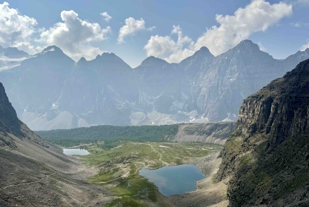
On day 3 of our Canadian Rockies adventure, a 7 am bus reservation to Lake Moraine was the key element of an early start to a long, hard hike from beautiful Lake Moraine up Larch Valley, over Sentinel Pass, down the infamous rockfield and out via Paradise Valley. The weather had turned sunny and bright, a nice change from Day 1. The hike up to the top of the pass on an excellent trail offered mountain vistas and alpine lakes. Stunning. Here, at the top of Sentinel Pass is where most folks do a U-turn and hike out the way they came in.
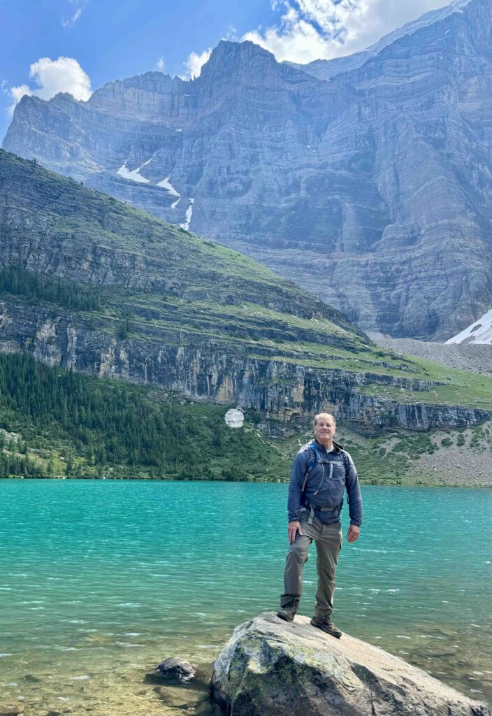
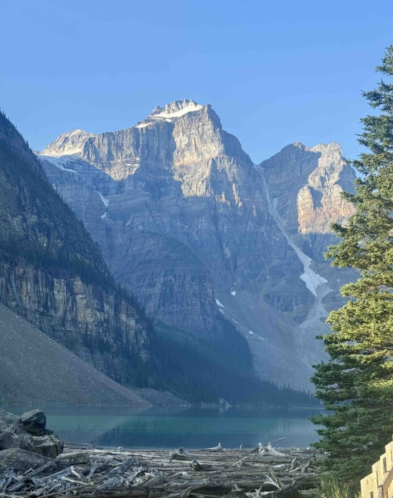
Then, there are a few intrepid hikers like George and me — I prefer “intrepid” to “foolish” – who decide to take the steep descent down the rockpile into Paradise Valley. It was steep, full of boulders and scree. It took us an hour to hike down the first half mile of it, picking our way judiciously with full reliance on hiking poles. Ugh.
Finally, the trail’s pitch relented as it entered a densely-forested valley and reverted from stone to dirt. We were home free to trail’s end at the access road, where we successfully flagged down a bus for the return trip. Another awesome hike, even if you choose to turn around at Sentinel Pass or at the lake beneath it.
Day 4: The Icefields Parkway and A Taste of Jasper National Park
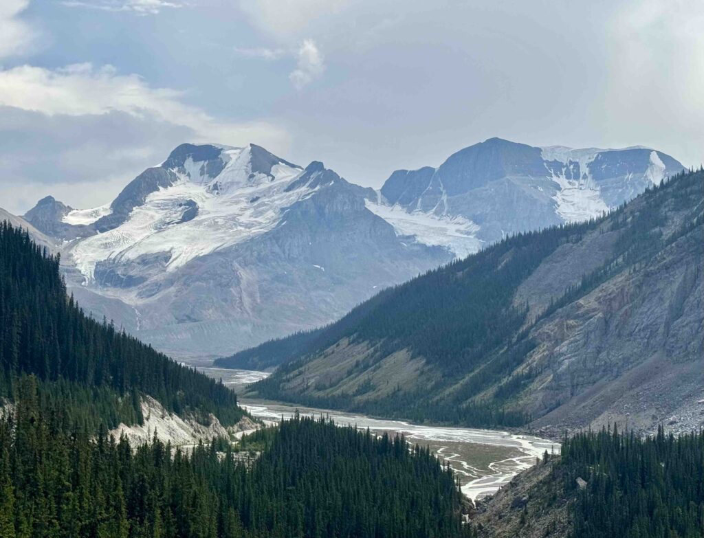
On Day 4, we got lucky, as the province opened most of the 227-km Icefields Parkway, including a section in the southern end of Jasper NP. While the town and its environs were still closed to non-residents, we decided to call an audible and do a day trip as far as we could go – and it seemed a worthy excuse for a “true” rest day.
Turns out, we were able to drive up to the Columbia Icefield in Jasper NP and enjoy many stops along the way. The scenery was so spectacular we decided to return here on the drive back to Calgary at trip’s end to do an afternoon hike before our midnight flight back home.
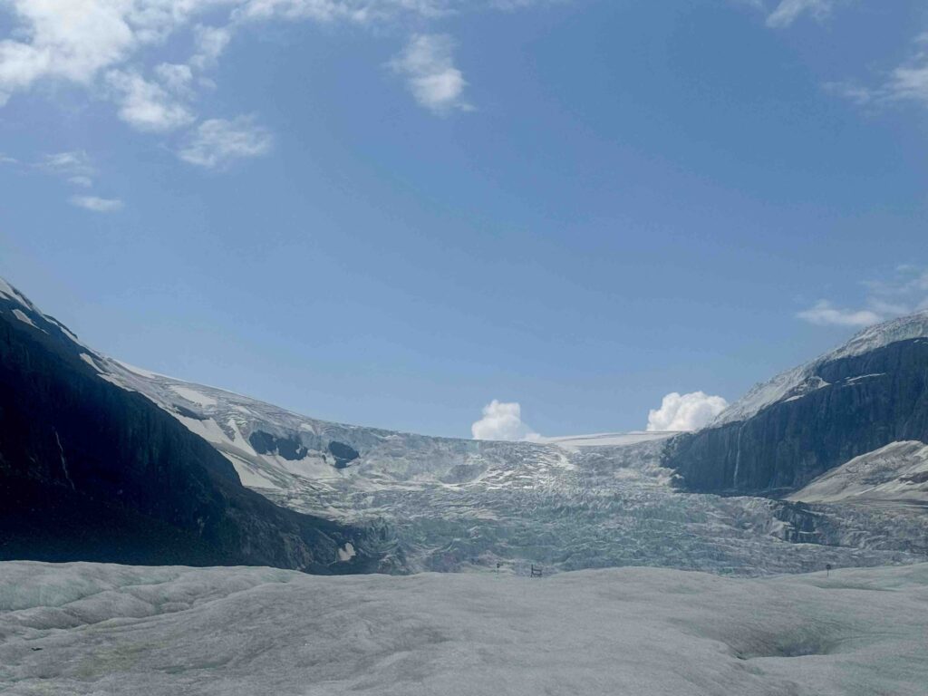
The Columbia Icefield is the largest (125 sq miles) in the Rocky Mountain chain, home to 6 glaciers. We decided to be tourists and took the Columbia Icefield Adventure, boarding an Ice Explorer vehicle that whisks you up and onto the toe of the Athabasca Glacier. Sure, it’s a little cheesy, but hey, where else can you so easily stroll around an honest-to-God glacier?! (In Kenai Fjords NP, Alaska, my younger daughter and I had to do a 6-8 hour hike in order to reach one.)
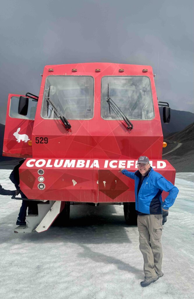
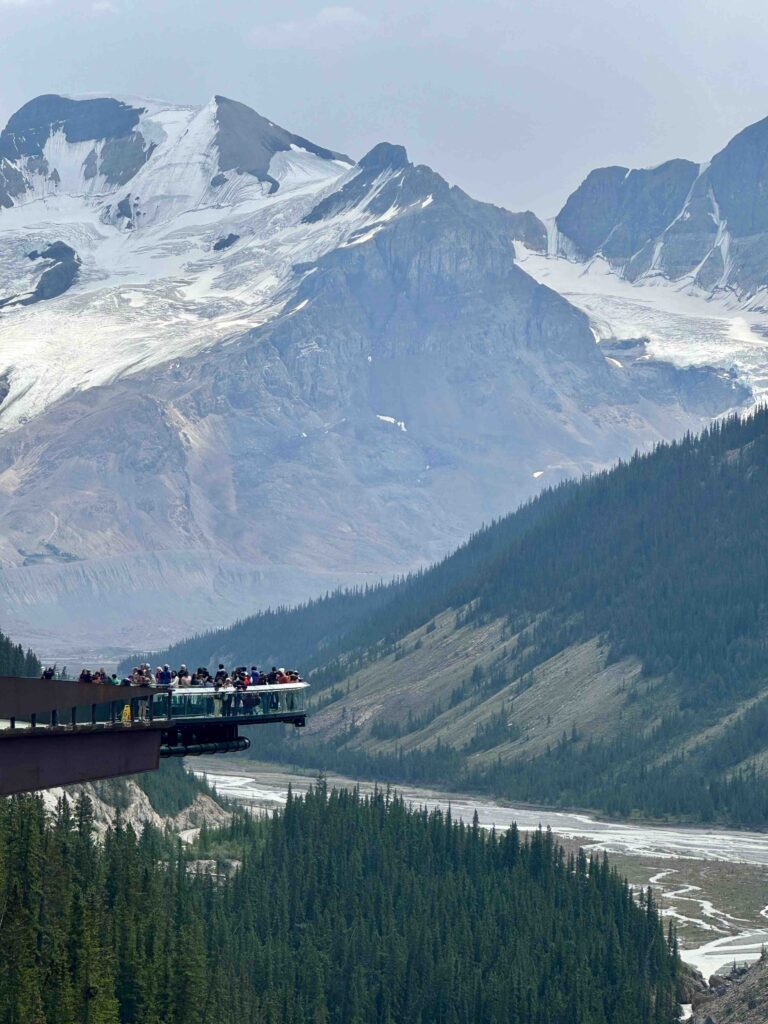
Part of the Adventure package allows the opportunity to walk out onto the Glacier Skywalk, a glass-bottomed platform extending from the edge of a cliff perched about 1,000 feet above the Sunwapta River Valley. Exhilarating views!
TIP: We learned a useful phrase on glacier walking: “Blue slippy, White grippy.” We also filled our water bottles with glacial melt. I didn’t find its taste superior to NYC tap water.
FUN FACT: “Firnification” is the process by which snowflakes are compacted to become the icy granules that form glaciers. No relation to fornication, so don’t mix them up, please.
Peyto Lake and Other Overlooks (Banff NP)
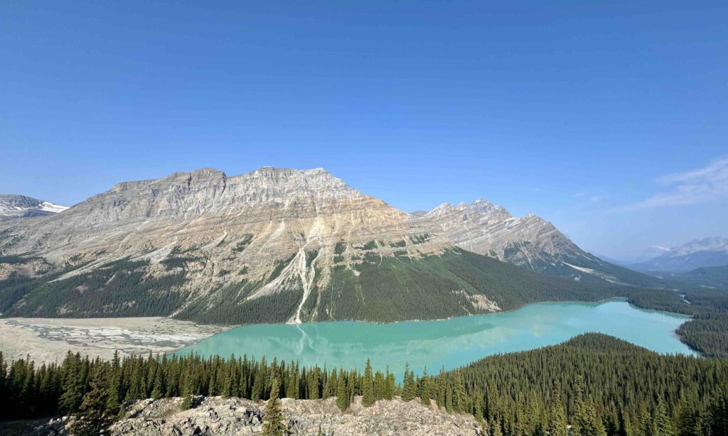
The Icefields Parkway follows a long, deep valley situated between two spines of the mountain range, offering dramatic views at nearly every turn. One of the pleasures of the drive is the numerous overlooks, vistas and short trails which are so easy to access. We stopped at several of these, including the popular Peyto Lake, noted for its turquoise color, but many named and unnamed stops were equally scenic and delightful.
FUN FACT: This area boasts many glacially-fed lakes with the trademark blue-green hues. Glacial run-off feeds the lake and is full of both heavier silt which settles to the bottom and finer ground rock (aka “rockflour”) which remails suspended in the lakewater. It is these particles which refract blue-green rays of light to give these lakes their signature color.
Thinking more broadly, I would love to return to Jasper NP, for a full-fledged visit. I’m jazzed by the thought of more deeply experiencing its beauty, having now merely touched the tip of the icefields.
Day 5: Yoho National Park – An Unsung Hero
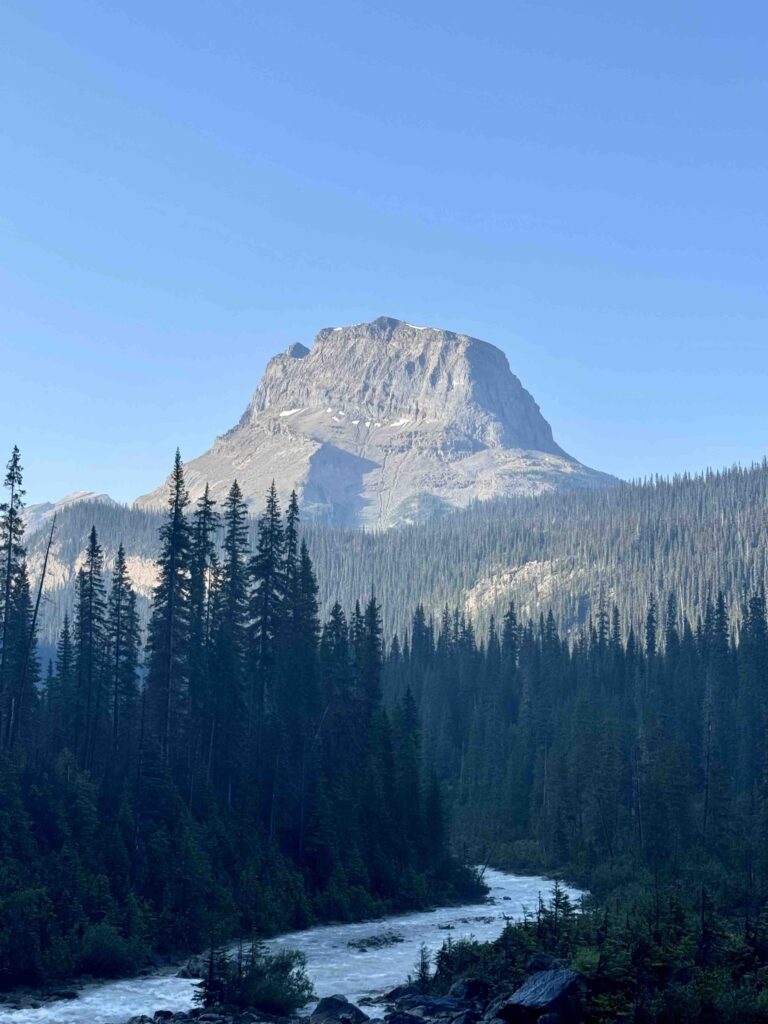
On day 5, George and I visited what I call the “unsung hero” of the national parks – Yoho National Park. The park is situated just west of Banff NP across the Continental Divide, a mere 15-minute drive from the town of Lake Louise. Yoho suffers from its proximity to better-known neighbors, Banff and Jasper, as it is a terrific national park in its own right.
In my view, there are three areas within Yoho which offer particularly stunning scenery: Iceline Trail, Emerald Lake, and Lake O’Hara. The latter requires bus or lodging reservations that were too difficult to procure. Fortunately, George and I were able to enjoy the other two.
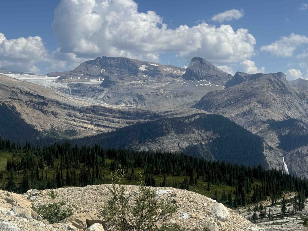
The Iceline Trail can be hiked many ways. George and I opted for a loop hike entitled “Celeste Lake via Iceline Trail” in AllTrails which links several trails together to make a 10.5 mile circuit with 2,800 ft vertical. Similar to our two long day-hikes in Banff, this circuit was spectacular.
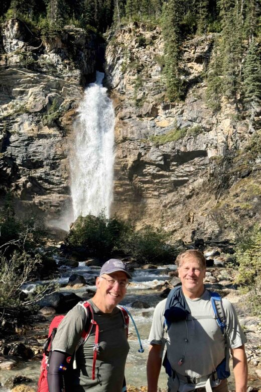
We started out on the relatively flat, heavily forested Yoho Valley Trail alongside the Yoho River. Along the way, we took a short side path to the base of another waterfall, Laughing Falls, which we could get close enough to touch. Then, we veered off left up the fall line on the Little Yoho Valley Trail, up and up and up through forest that gradually became sparser, to the Celeste Lake Connector Trail. Celeste led us through sub-alpine terrain with streams and several small lakes, including its namesake.
Finally, we broke through the treeline and connected with the Iceline Trail in front of a pair of alpine lakes. It was a great spot for a break on a cloudless day in full sun. From there, we followed the Trail along the treeless ridgeline, paralleling a series of impressive glaciers and peaks 3000 feet above us until it turned steeply down, down, down to emerge near our parking lot. I’m very glad we did not start our hiking circuit coming clockwise up the Iceline!
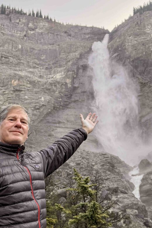
All of that being said, perhaps the most important thing to do – and I suggest starting with this pre-hike – is to walk the flat half mile from the parking lot to the base of Takakkaw Falls, the second highest in Canada (373 metres, app. 1,250 feet). It’s a great way to start the day. Later, we enjoyed seeing the falls from a distance from numerous vantage points along the Iceline Trail.
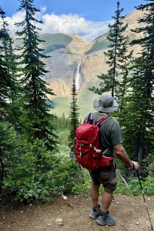
TIP: As usual, we used AllTrails to download and hike the route – and importantly, we also read recent hiker comments. AllTrails describes the loop hike in a clockwise progression; however, numerous hikers strongly recommended it be done counterclockwise and we were very glad we followed their advice. Highly recommend this app!
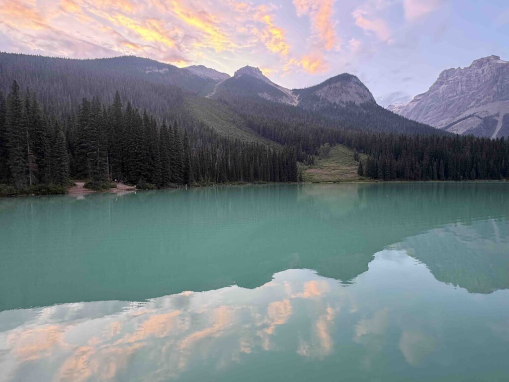
Emerald Lake is a stunning green-hued lake set in a bowl of the Presidential Range of these Canadian Rockies. The flat and picturesque Emerald Lake Trail follows the shoreline around the lake for 5.1 km (3 miles). George and I had time to do a short section of it before our dinner reservation at the very upscale Emerald Lake Lodge overlooking the Lake. There are a number of trails which branch off and rise high above the lake and can be hiked in a circuit to deliver an experience similar to the Iceline Trail per the Parks Canada ranger. Unfortunately, we had to move on to Glacier and Mount Revelstoke, but similar to Banff/Jasper, we agreed Yoho needs more of our time!
Fun Fact: The deep green colour of Emerald Lake is from suspended rock flour form the rocks and scree above the Lake which only refracts green hues. The blue. greenish turquoise colour of Bow, Peyto and other Banff lakes is from glacial sediment that refracts blues as well as greens. Tom Wilson who stumbled upon this lake in 1882 and named it Emerald, forgot that he had already bestowed the same name on another notable lake. Fortunately, that other lake was quickly renamed after Queen Victoria’s fourth daughter, Louise
Fun Fact: The Canadian Pacific Railway tracks run through the middle of Yoho and the Continental Divide. Turns out, this section of track, going past Rogers Pass and the Continental Divide, is the steepest of the CPR, so steep that nearby Spiral Tunnels (and other tunnels) were built inside the mountains to enable track to be laid at an acceptable grade. If you are driving the Trans-Canada Highway through this section, don’t miss the roadside pull off for the Tunnels with signage describing this engineering feat – and maybe you’ll see a train running it, as we did, for there are 80 trains a day on average coming through.
Day 6: Mount Revelstoke National Park – Miller, Eva and Jade Lakes
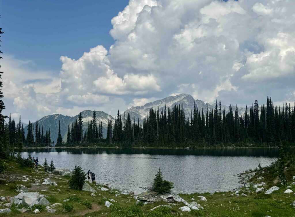
Mount Revelstoke is located about a half-hour past Glacier. George and I decided to try something unusual: a hike off its summit. There is a 24-km road leading from base to summit of Revelstoke, with several trailheads off its top. In particular, the several undulating trails out to three lakes – Miller, Eva and Jade Lakes – are especially spectacular, per Maria, the Parks Canada rep on duty at the Visitor Center.
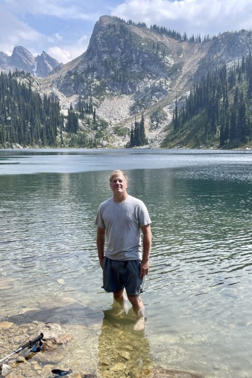
We couldn’t agree more. The trails wind their way through fir forests and alpine meadows to picturesque lakes. They offer wide-open panoramic views of the distant Monashee and Selkirk Mountains. Lots of visual drama. We made it to Miller and Eva Lakes (together, 10 miles, 1,800 ft vertical) and enjoyed lunch and a brief dip; younger hikers sporting bathing attire took the full plunge. The hike didn’t feel nearly so vertical, as the trail was primarily short stretches of inclines and declines.
Hiking Tip: The reps at all of the Parks Canada locations were extremely helpful, providing us with insightful advice on best trails, bear sightings and safety, wildfire and smoke/haze status – even where to dine! If you plan a national park visit, I strongly encourage you to use them.
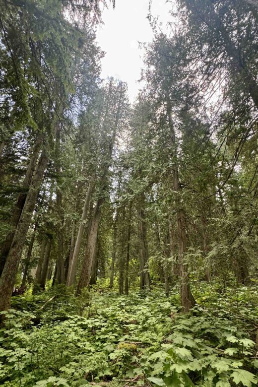
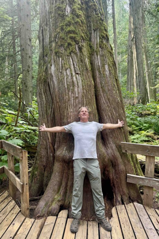
One last observation: Yoho, Glacier and Revelstoke NPs are all accessed from the Trans Canada Highway which offers a number of roadside sights to explore such as the Spiral Tunnels in Yoho. George and I enjoyed a number of these, particularly the opportunity to stroll boardwalks through Hemlock Grove in Glacier and Giant Cedars in Mount Revelstoke, both recommended by Parks Canada Maria.
Day 7: Glacier National Park – Yes, in Canada, not Montana
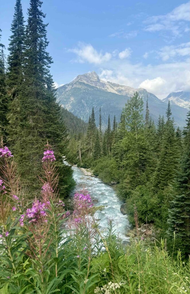
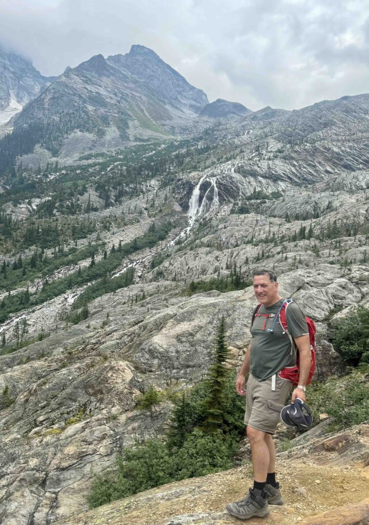
First, let’s clear up any confusion. There is a Glacier National Park in the U.S. bordering Canada, on the Montana side, and, paired with the contiguous Waterton Lakes National Park on the Alberta side, they became the first international peace park. Separately, there is the Glacier National Park located in British Columbia, about an hour’s drive west of Yoho. This Glacier is even more glaciated and vertiginous than its U.S. sibling. It also boasts a relatively short trail, Hermit Trail, that is reputed to be the steepest of these Canadian national parks, ascending 827 metres (2,700 ft) over 3.7km (2.2 miles). Anything steeper than 1000 ft per mile is downright steep!
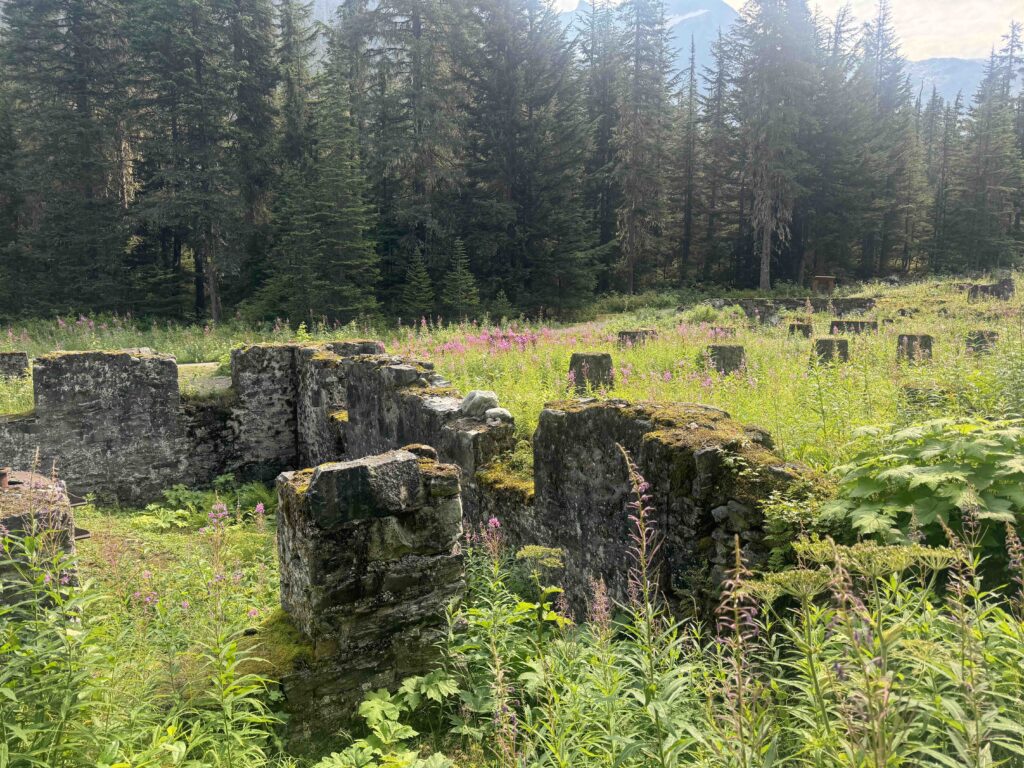
Glacier is also the home to the defunct Glacier House, built in 1886 as a destination stop along the Canadian Pacific Railway. It was the first mountain lodging in BC to offer resort features — such as a billiards room, wine cellar and telescope observation deck – so that travelers would enjoy the same level of luxury as the dining and passenger cars on the train. When the railway was re-routed, the era of Glacier House was over.
Fun Fact: Parks Canada has adopted a practice of placing bright red Adirondack chairs in lesser-known, but just as stunning settings across its national parks system. There are over 400 of them. Many of us visitors like to search for them, and as you can see in the shots below, George and I found some!
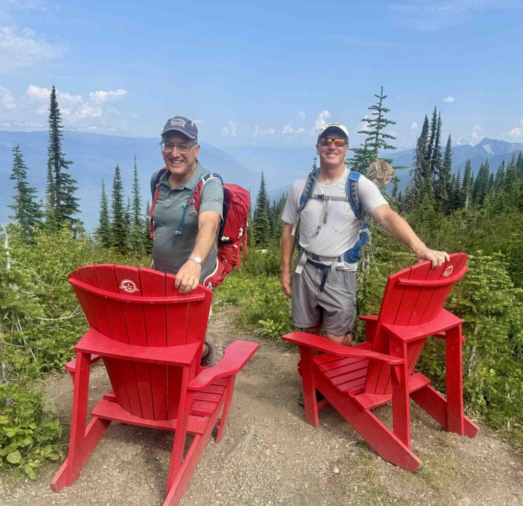
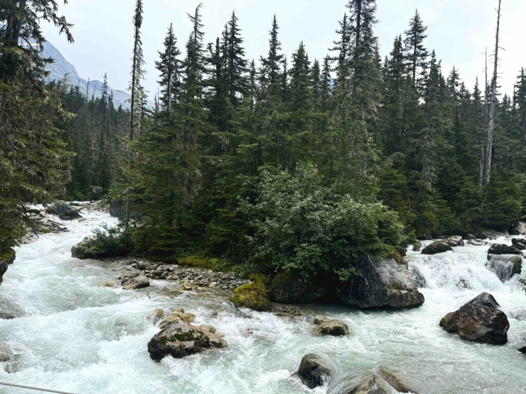
George and I decided to explore the network of trails in the Illecillewaet area, as we were looking for a lighter day. The Hermit Trail would have to await another trip. We chose the short 1885 Trail leading past the remnants of Glacier House to the Great Glacier Trail, a 6.4 km (3.8 mile) return hike with 1,000 ft of vertical. We also enjoyed a 1.3km loop hike on the relatively flat Meeting of the Waters Trail which traversed the site of the merging of the Illecillewaet and Asulkan Rivers.
Day 8, Bow Lake – Bow Glacier Falls, 5.4 miles, 800 ft vertical
(Banff NP)
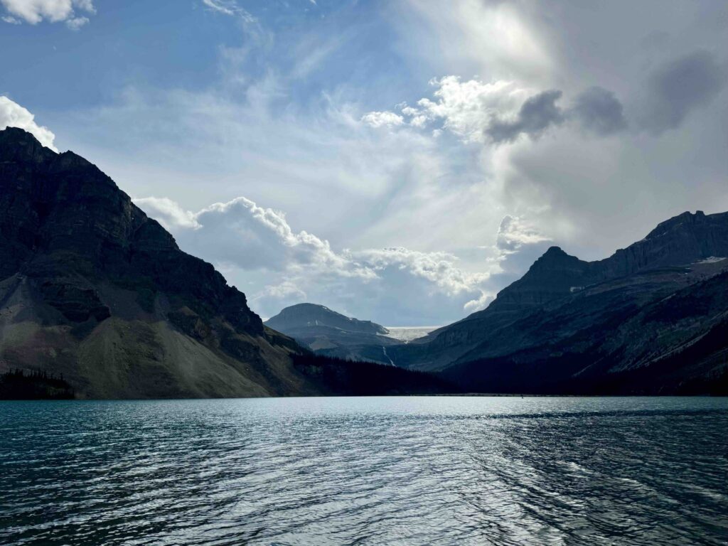
George and I opted to return to this area along the Icefields Parkway for a final send-off on the last day of our trip. This particular hike had been recommended to us by a woman we briefly met over dinner. She overheard our conversation on hiking options and, having done quite a bit of hiking in the area, suggested this one. Very glad we listened to her advice.
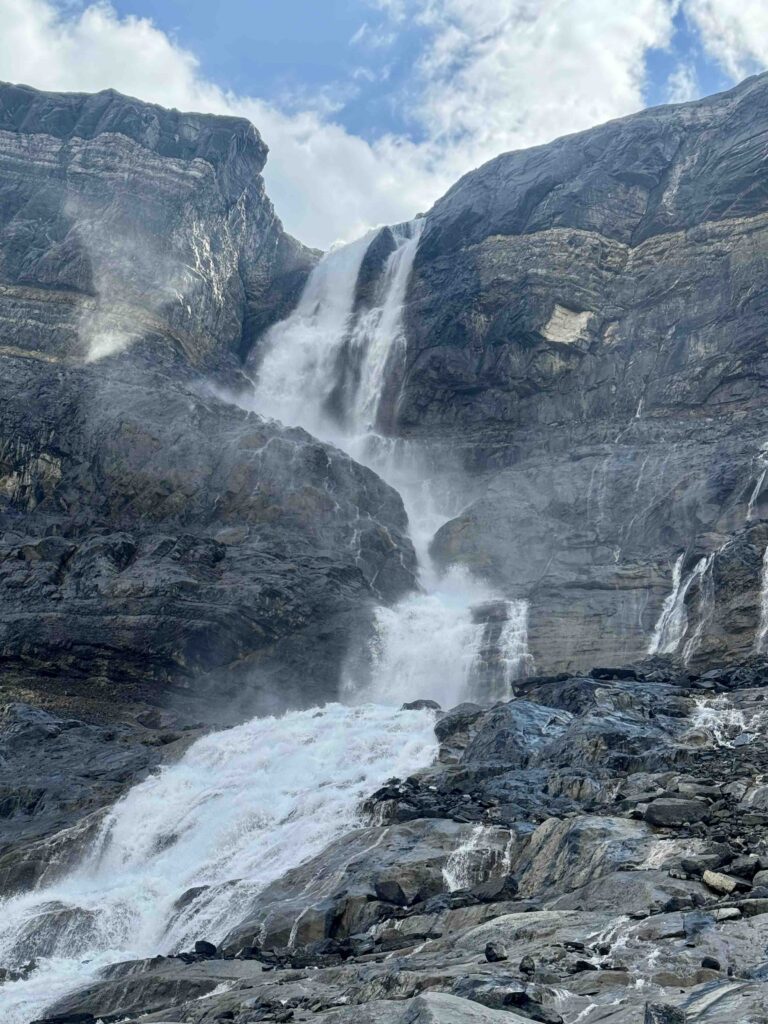
Bow Lake may be the most serenely beautiful of all the lakes we experienced. The hike to Bow Glacier Falls leads along its north shore and then splits off to follow the stream that feeds it. The trail terminates at the base of the waterfall from a glacier high above. George and I vowed to return for a full day adventure up to the ridge and mountainside housing the glacier.
Tip: Check out my detailed itinerary here, including thoughts and observations on lodging and dining.
Well, that’s it – 8 days hiking amidst the majestic Canadian Rockies. I hope I managed to convey the awe of the beauty and the experience, and I hope you feel inspired to explore these and other many wonderful national parks of Canada.

